

ABOUT THIS TRAIL
This is a 4.3km long trail set in a figure-of-eight design to allow walkers an abbreviated version should they be time-limited.
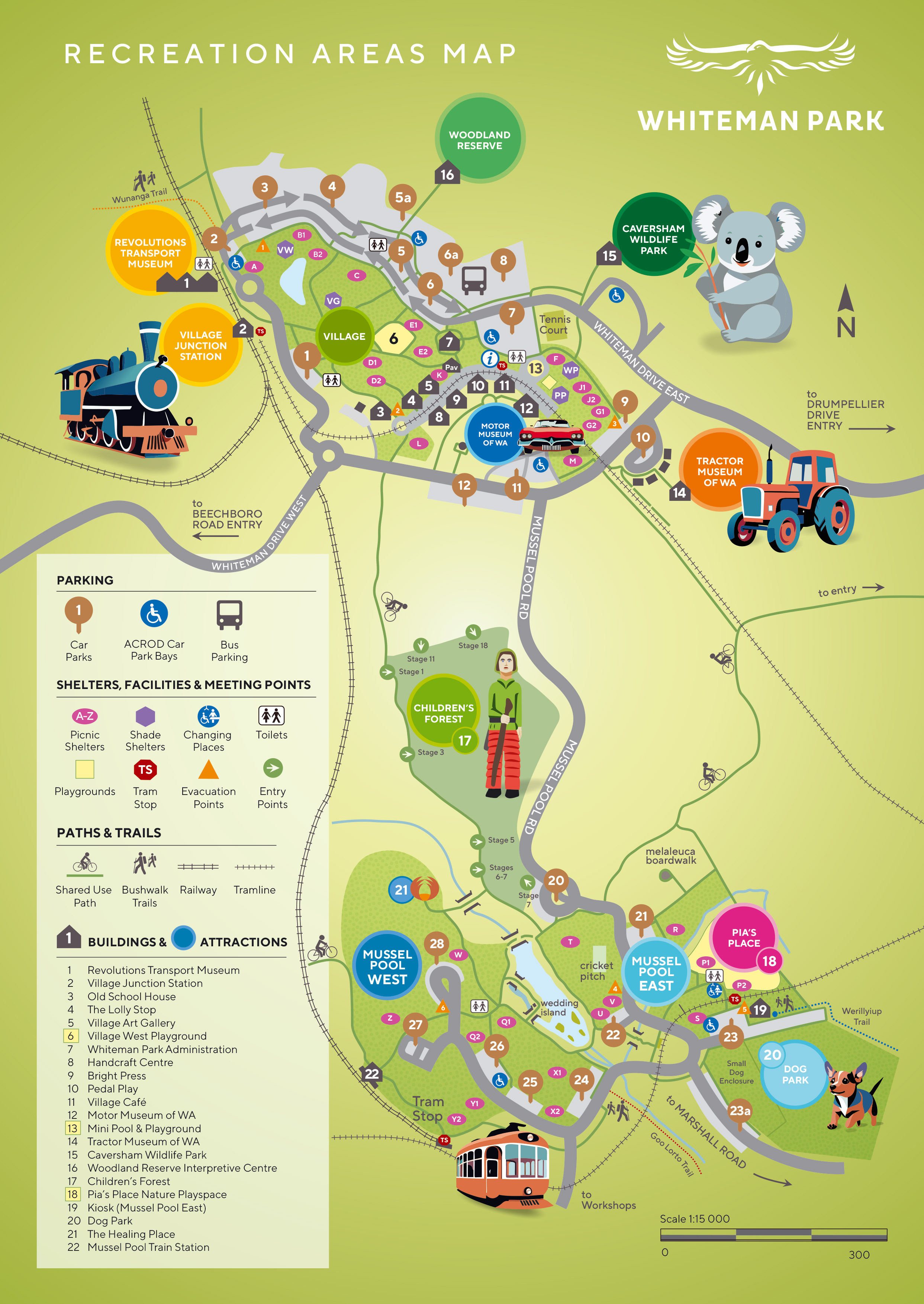
Following the yellow/orange-topped poles, it commences adjacent to the Village Junction Railway Station (near car park 2) and winds its way through a number of different vegetation types, allowing walkers to experience the amazing diversity that the Park’s woodland has to offer. This includes jarrah, marri and banksia coastal plain bushland.
| Type | Bush walk, banksia woodland |
| Trail length | 4.3km (yellow loop) 2.1 km (orange loop) |
| Grade | 3 - Moderate |
| Time | 2 hours for full yellow loop 45 minutes for orange loop |
| Trail start | Car park 2 |
| Best time of year | April - November |
FEATURES
The understorey is alive with flowering shrubs throughout the year, although in the cooler spring months, eagle eyed walkers can enjoy trigger plants and orchids in an array of colours and forms.
TRAIL MAP
You can download the Wunanga trail map below, or pick one up from the Visitor Information Centre or Revolutions Transport Museum (at the start of the trail) in the Village.